Welcome to GEONXT INFO SOLUTIONS PRIVATE LIMITED
Changes in land use can be categorized by the complex interaction of structural and behavioral factors associated with technological capacity, demand, and social relations that affect both environmental capacity and the demand, along with the nature of the environment. Land management and land planning requires a knowledge of the current state of the landscape.
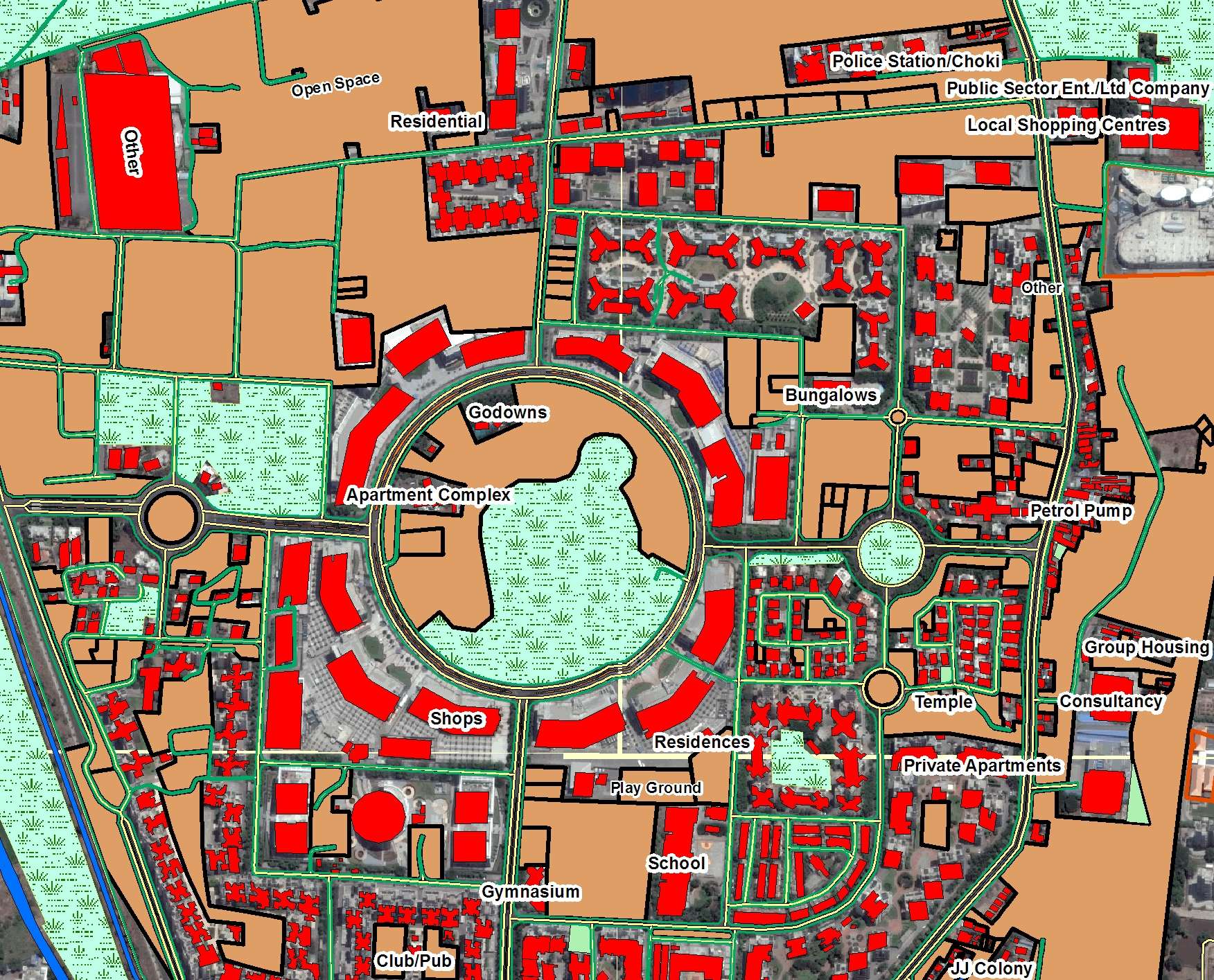
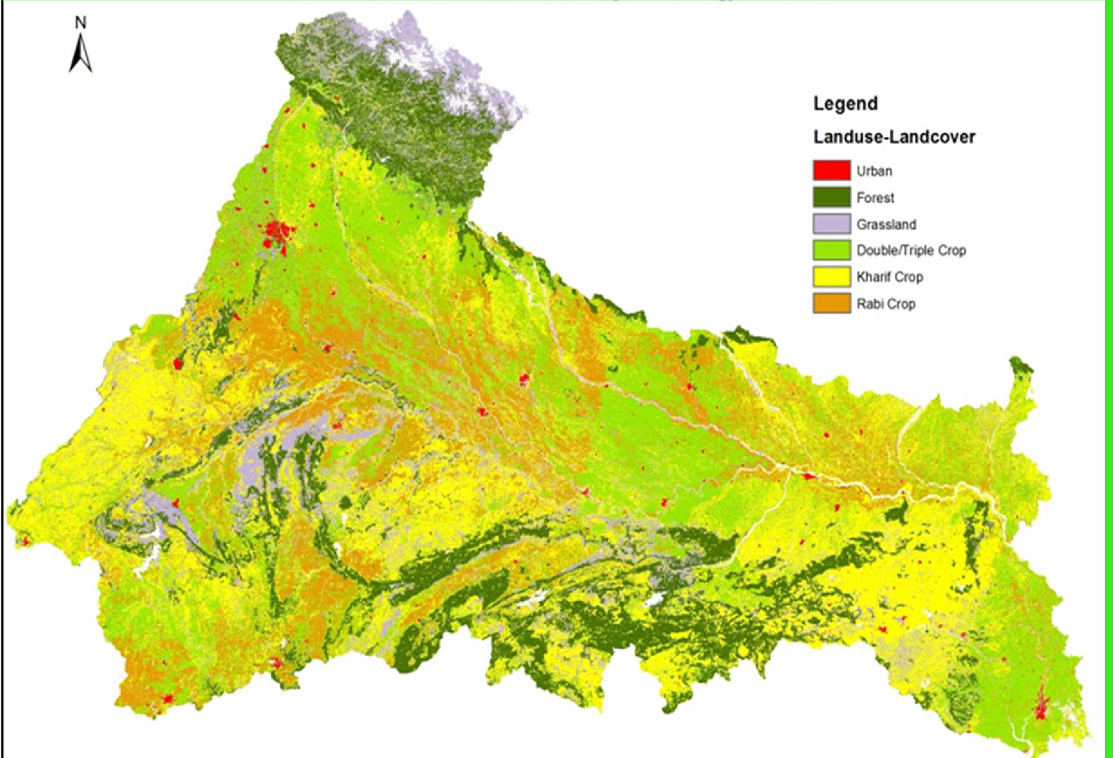
Understanding current land cover and how it is being used, along with an accurate means of monitoring change over time, is vital to any person responsible for land management. Measuring current conditions and how they are changing can be easily achieved through land cover mapping, a process that quantifies current land resources into a series of thematic categories, such as forest, water, and paved surfaces.
By using remotely sensed imagery and semi-automated classification methods, GeoNxt provides cost-effective and accurate means to derive land resource information and maintain its currency into the future.

