Welcome to GEONXT INFO SOLUTIONS PRIVATE LIMITED
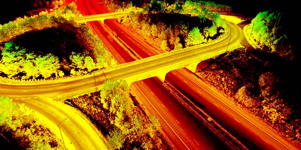
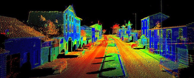
The working principle of Light Detection and Ranging system is really quite simple. A LiDAR sensor mounted on an aircraft or helicopter. It generates Laser pulse train, which sent to the surface/target to measure the time and it takes to return to its source. The Lidar mechanisms just collect elevation data and along with the data of Inertial Measuring Unit are placed with the aircraft and a GPS unit. With the help of these systems the Light Detection And Ranging sensor collect data points, the location of the data is recorded along with the GPS sensor.
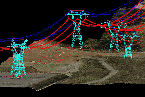
Data is required to process the return time for each pulse scattered back to the sensor and calculate the variable distances from the sensor, or changes in land cover surfaces. After the survey, the data are downloaded and processed using specially designed computer software (LiDAR point Cloud Data Processing Software). The final output is accurate, geographically registered longitude (X), latitude (Y), and elevation (Z) for every data point. The LiDAR mapping data are composed of elevation measurements of the surface and are attained through aerial topographic surveys. The file format used to capture and store LiDAR data is a simple text file. By using elevation points data may be used to create detailed topographic maps. With these data points even they also allow the generation of a digital elevation model of the ground surface.
GeoNxt has a specialized Lidar Team with experienced Professionals. We are committed to Quality and delivery within stipulated time period.
GeoNxt offers the following Lidar Services


