Welcome to GEONXT INFO SOLUTIONS PRIVATE LIMITED
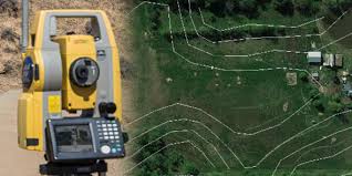
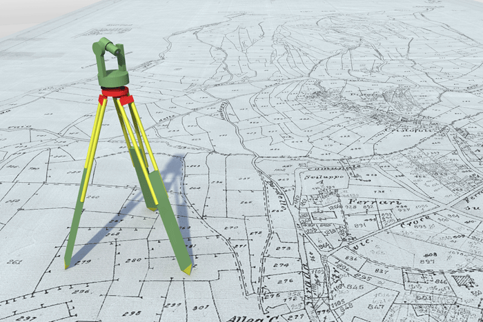
Surveying, a means of making relatively large-scale, accurate measurements of the Earth’s surfaces. It includes the determination of the measurement data, the reduction and interpretation of the data to usable form, and, conversely, the establishment of relative position and size according to given measurement requirements. Thus, surveying has two similar but opposite functions: like the determination of existing relative horizontal and vertical position, such as that used for the process of mapping, and the establishment of marks to control constructionor to indicate land boundaries.
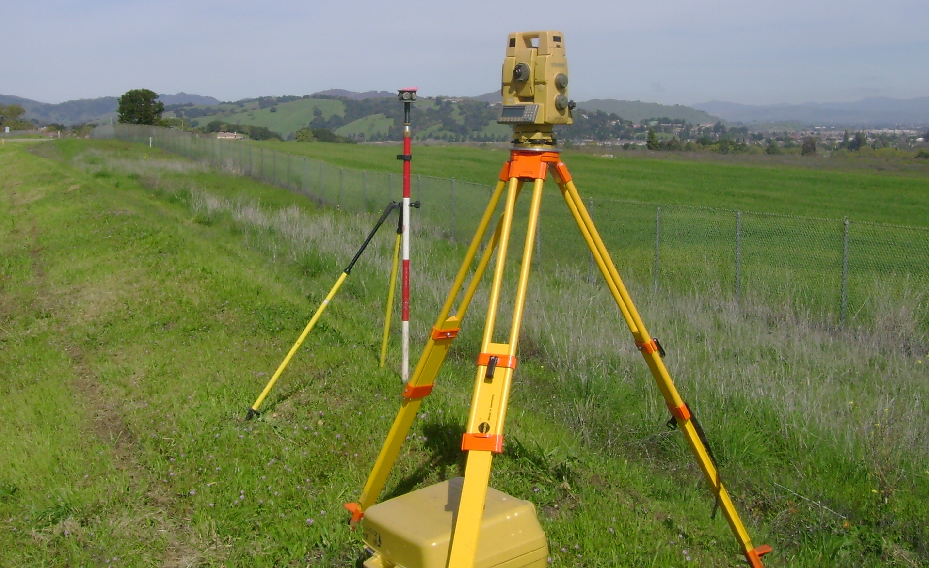
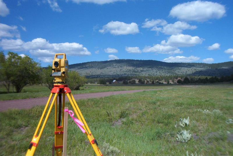
Our range of services is inclusive of Control surveys, Boundary surveys, Topographic Land surveys, settingout surveys, Route Surveys, Volume calculations. there is a great demand for these in varied kinds of project management requirements and civil and structural engineering. Our services are renowned for being prompt, relevant, effective and accurate. In our field operations, we use cutting edgetechnologies, and all of the latest office processing software.
GeoNxt also equipped with Latest leaserScanner, DGPA, GPS, and ETS instruments
