Welcome to GEONXT INFO SOLUTIONS PRIVATE LIMITED
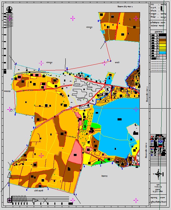
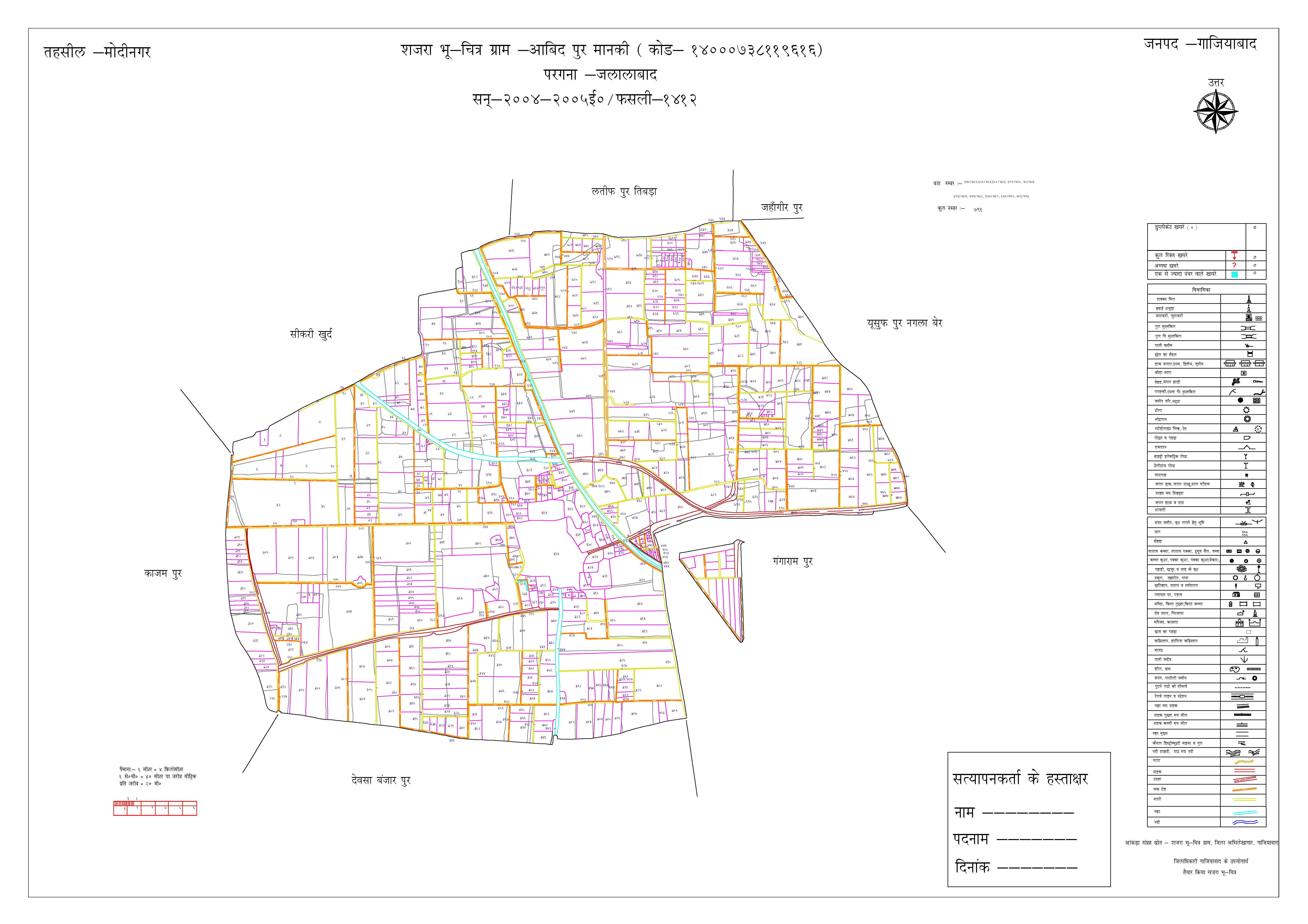
Cadastral mapping is the method of registering land, designed to ensure the rights of individuals and the state of their property. Every activity in general, and developmental project activity in particular, is in some form or the other associated with land. Therefore, for planning purpose all land-associated information should be available in the form of a computer database, which can be easily accessed, manipulated by decision makers while formulating and executing a work. Such a database system is called Land information system.
Cadastral applications will include cadastral index maps and land registration data in a digital format. Automation linkages will be created and developed between textual data (legal land registration data) and parcel maps. The final goal is to generate digital maps which will facilitate land management and planning and in particular land registration and the issuance of land titles in order to promote security of land tenure and reduce land disputes. Therefore land administration systems are not ‘just handling only geographic information’ as they represent a lawfully meaningful relationship amongst people, between people and land.
Our services include scanning, Digitization & indexing of digital data. We take care of each aspect to preserve the originality of the document. GeoNxt also provide solutions such as with joining of RoR data with land parcels.

