Welcome to GEONXT INFO SOLUTIONS PRIVATE LIMITED
Welcome to GEONXT INFO SOLUTIONS PRIVATE LIMITED
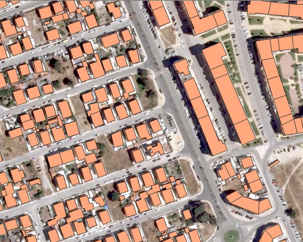
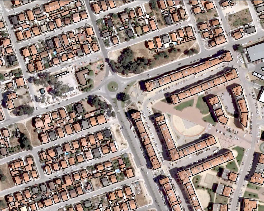
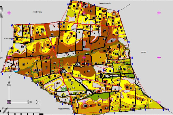
GIS services allow for the visualization of geographic data, analysis of spatial relationships, and efficient data management. One of the most valuable aspects in GIS is the digital representation of an image. GIS data conversions allow data from different sources to be merged in one common format, which allows for easy access, analysis and utilization. We are capable of various geospatial analytical procedures for users in agriculture, fisheries, market research, transport, electrical network, banking water supplies, sewage, forestry, flood management, hazard mitigation. Our GIS team, with a skilful thematic mapping service, helps you display the spatial distribution of a single attribute or a specific topic, such as property assessments, soil types, or crime locations.
Geonxt has a specialized team of GIS professionals who generate the desired digital data while following the latest technologies and tools. Our integrated processes for conversion convert architectural, mechanical and various technical drawings, maps and other types of line artwork into the desired formats with fine quality of high-end products.